Lebanese families displaced by the war are turning to commercial satellite imagery to find out what happened to their homes in southern Lebanon. With many unable to return in person after Israel's invasion of the south, paid images have become one of the few ways to look for signs that a house or neighborhood is still standing.
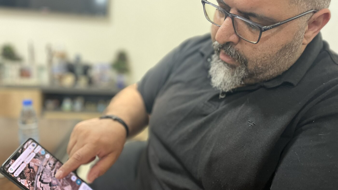
The report centers on Mazen Farah, who studies satellite views of Yaroun on his phone from Beirut. The images load slowly and are not perfectly sharp, but they still offer a rare glimpse of the village, including its Christian area, for people cut off from their property and community.
The growing use of satellite photos shows how displaced residents are using technology to answer basic questions that would normally require a visit: Is the roof still there? Is the street intact? Has the area been badly damaged? Even when the pictures provide only limited detail, they can help families reduce some of the uncertainty.
At the same time, satellite imagery cannot fully replace being there. It may show broad damage patterns, but it cannot reveal everything inside a home or tell people when it will be safe to return. For many Lebanese displaced by the fighting, these images are a distant, imperfect connection to the lives they were forced to leave behind.