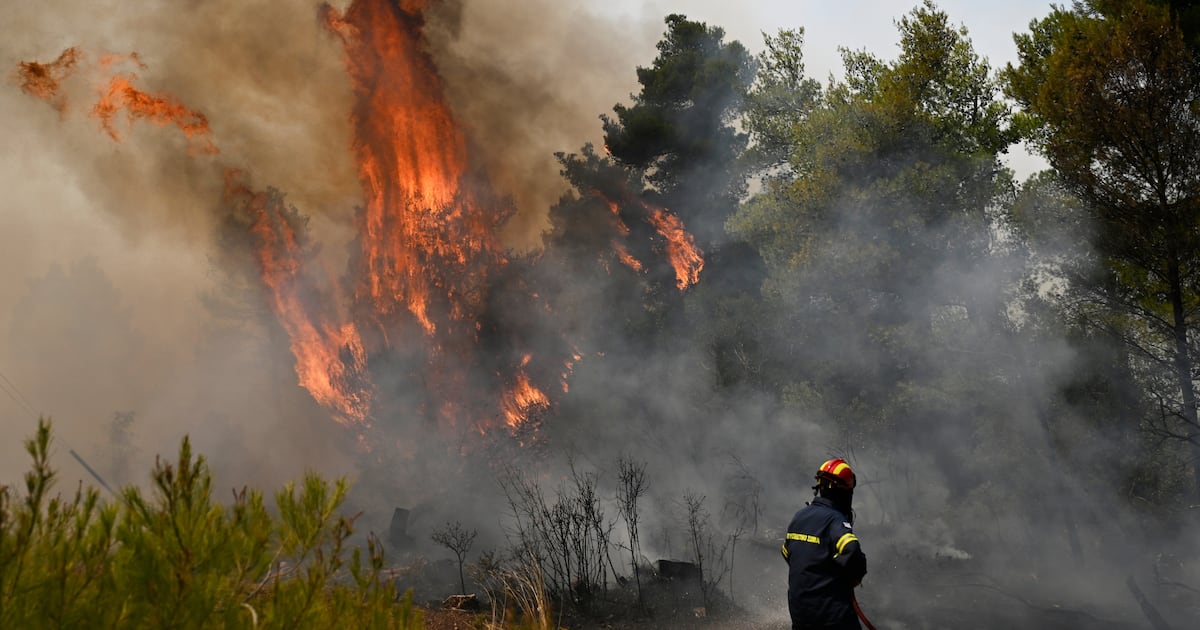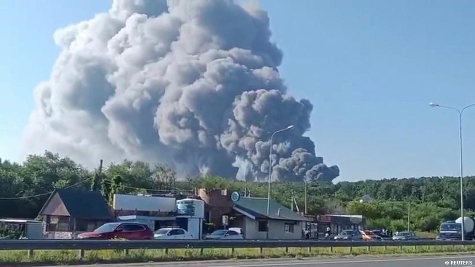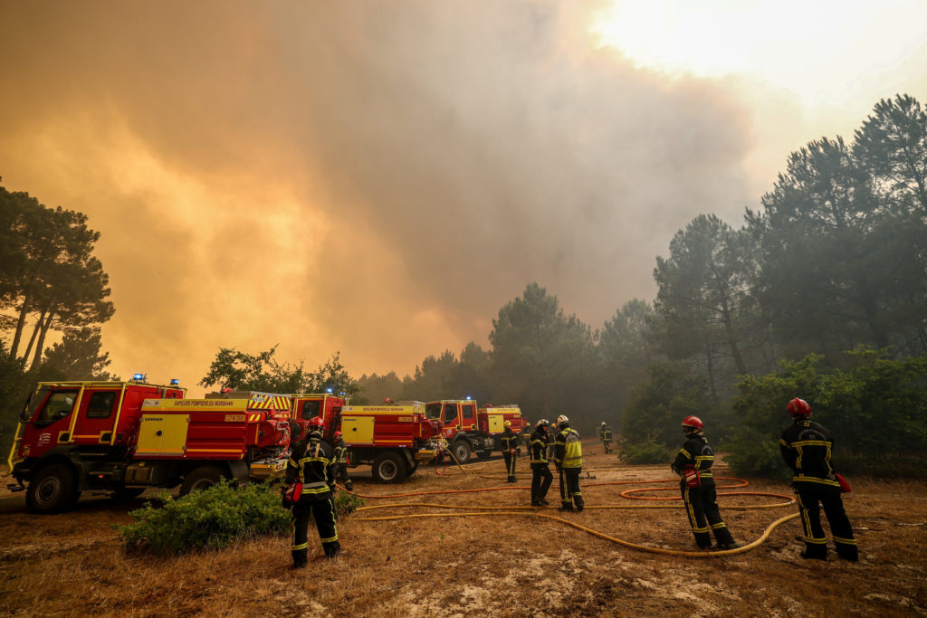
A wildfire in southwest France became so intense that it created what officials described as the country’s first recorded pyrocumulonimbus cloud. The rare phenomenon formed when the fire’s heat and smoke rose high enough to build into a thunderstorm-like system above the blaze.
According to officials, the smoke column did more than tower over the fire zone. It also generated lightning that reached the ground, starting additional fires outside the main burn area. That meant the wildfire was not only spreading directly, but also creating new ignition points beyond its original front.
A pyrocumulonimbus cloud is associated with extreme wildfire behavior, when a large fire produces enough heat to drive powerful upward motion in the atmosphere. In this case, the event marked a notable moment for France because authorities said it was the first time such a cloud had been recorded in the country.
The development highlights how severe wildfires can interact with weather in dangerous ways, making firefighting more difficult and less predictable. In southwest France, the blaze showed how a fire can effectively create its own storm system and expand the threat over a wider area.