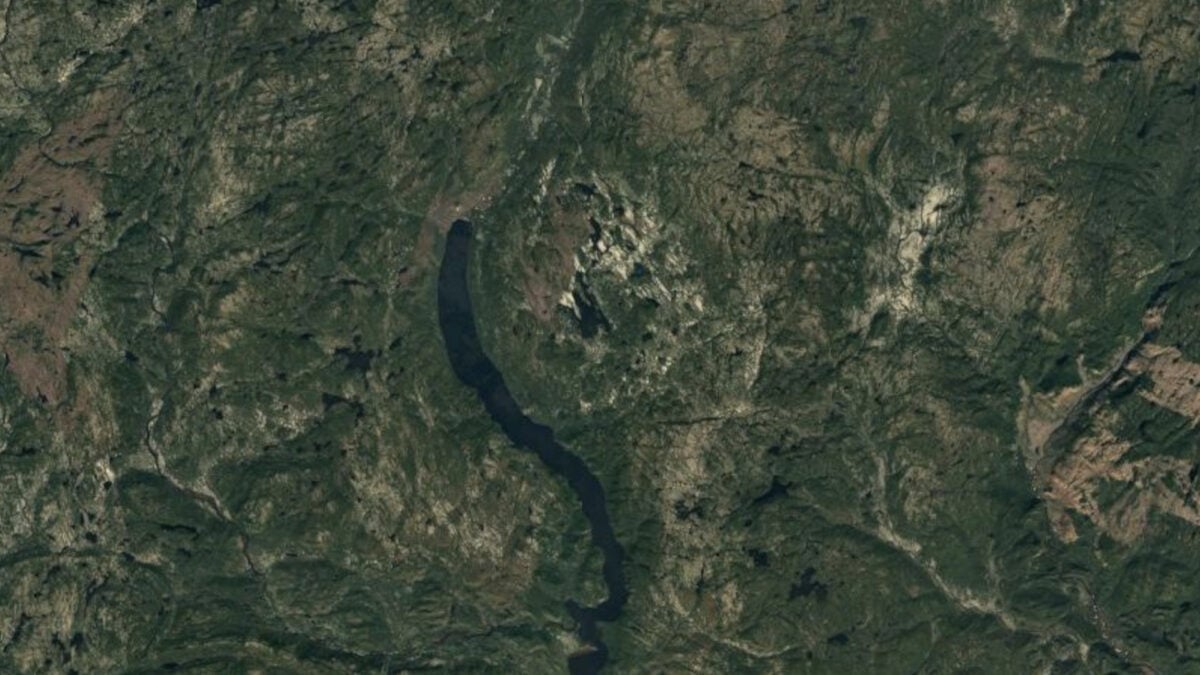
An amateur astronomer in Quebec has been linked to the discovery of an ancient meteorite impact site after noticing an unusual landform on Google Maps. Joël Lapointe reportedly came across the feature while browsing the area near Marsal Lake and planning hiking routes for a camping trip.
What caught his attention was an indentation in the landscape that appeared unusual enough to merit a closer look. That initial observation, made through a widely used mapping tool rather than in a lab or observatory, eventually led scientists to examine the site more closely.
Researchers later confirmed that the formation is a meteorite impact crater dating back roughly 390 million years. The finding ties a casual digital observation to a much older geological event, turning a routine map search into a notable scientific discovery.
The story highlights how satellite imagery and public mapping platforms can sometimes help uncover overlooked features in remote areas. In this case, Lapointe’s eye for patterns helped bring attention to a crater in Quebec that had remained hidden in plain sight for hundreds of millions of years.