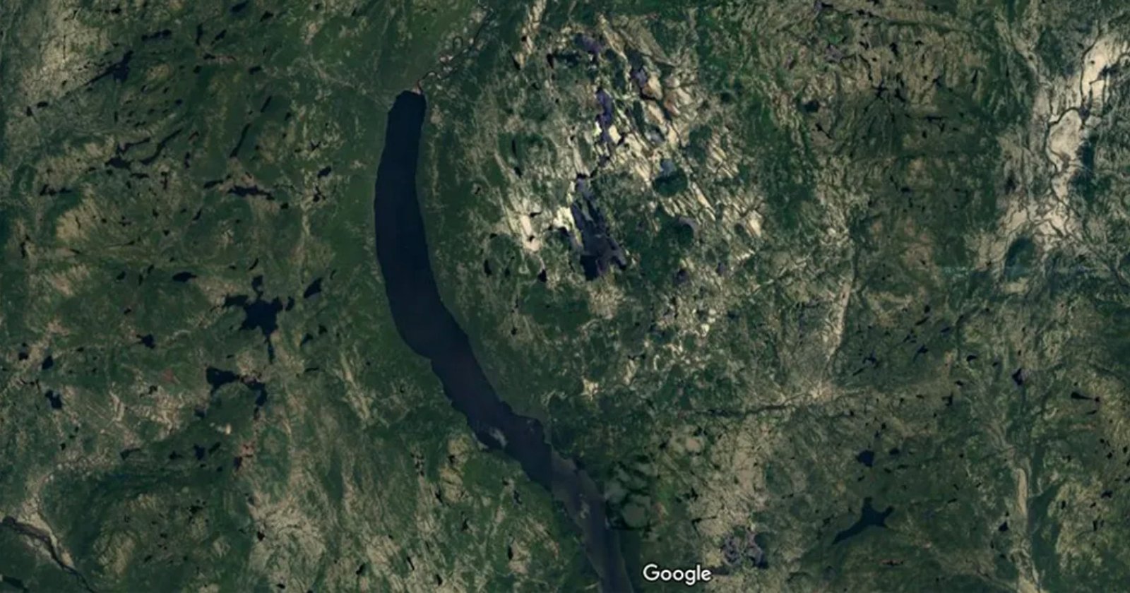
A camper planning a trip through Quebec’s Côte-Nord region reportedly made an unusual discovery after studying the area on Google Maps. While mapping out the route, Joël Lapointe noticed a striking circular landform that appeared to match the shape of a meteor crater.
The find stands out because ancient impact sites are not often identified this way. Satellite imagery and mapping tools can reveal large geological patterns, but it is rare for an ordinary traveler to spot a possible crater while preparing for a camping journey.
According to the report, the structure in question was recognized as an ancient meteor crater, turning a simple travel-planning session into a noteworthy science story. The case highlights how modern map platforms can sometimes bring major natural features into view for anyone looking closely enough.
The discovery also shows how public access to digital mapping has changed the way people interact with landscapes. What began as a search for campsites and routes became a rare example of a potential impact structure being noticed outside a formal scientific survey.