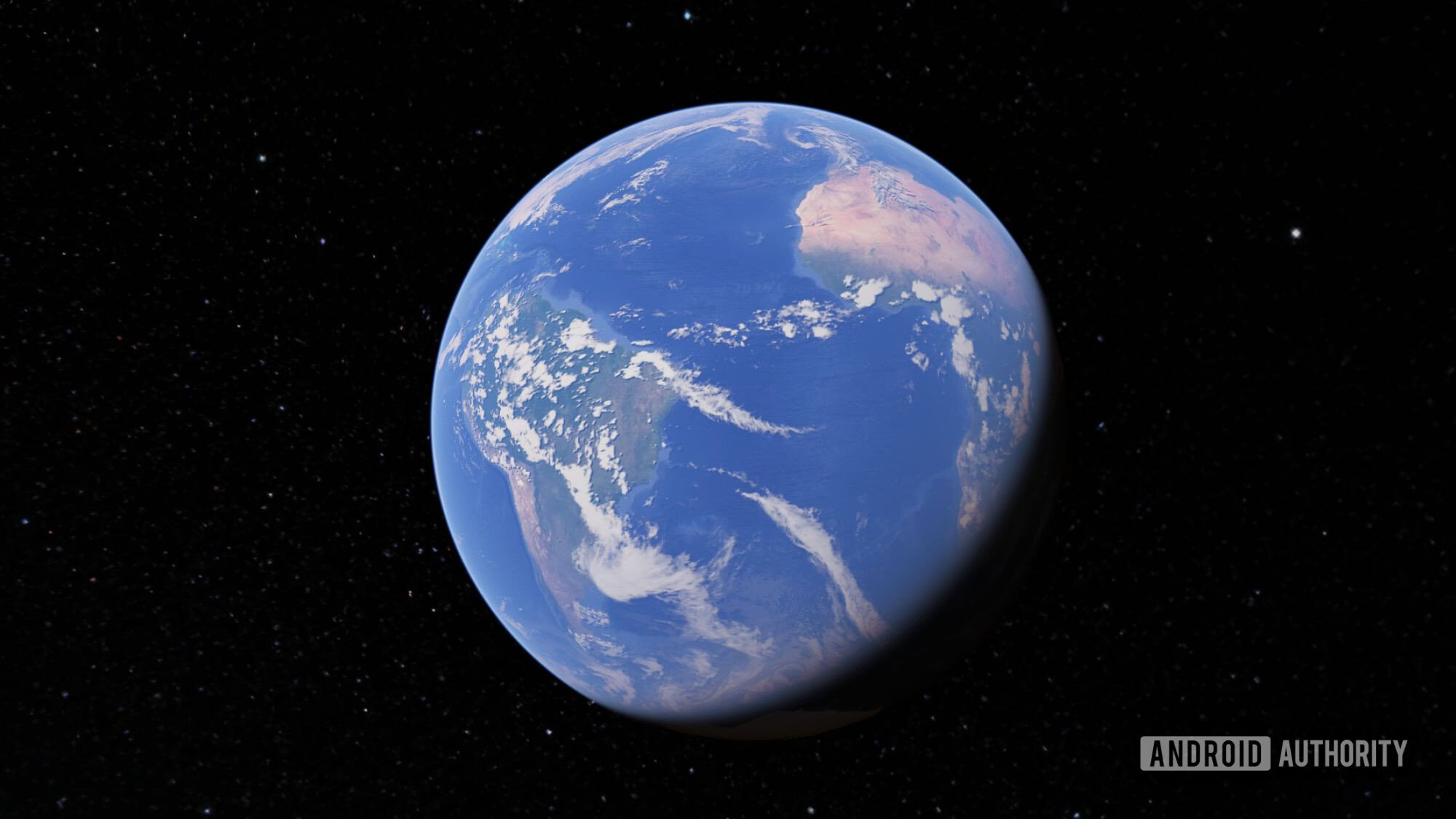
Google Earth is adding a new AI-powered feature that aims to make exploring places more visual and interactive. The update uses Gemini's Nano Banana 2 to create images tied to real-world locations, drawing on Google Earth's satellite views, aerial imagery, and 3D map data.
The idea is to give users more than a standard map view. Instead of only looking at a location, people can use the tool to visualize ideas connected to a place and get visual explainers that help them learn more about what they are seeing.
Because the feature is built on real-world geographic data, it appears designed to keep AI-generated results grounded in actual locations rather than producing generic scenes. That could make Google Earth more useful for discovering landmarks, understanding environments, or exploring an area in a more immersive way.
The change also shows how Google is bringing Gemini deeper into its mapping and Earth products. By combining AI generation with satellite, aerial, 3D, and web-based information, Google Earth is moving toward a richer experience that blends maps, visuals, and contextual learning in one place.