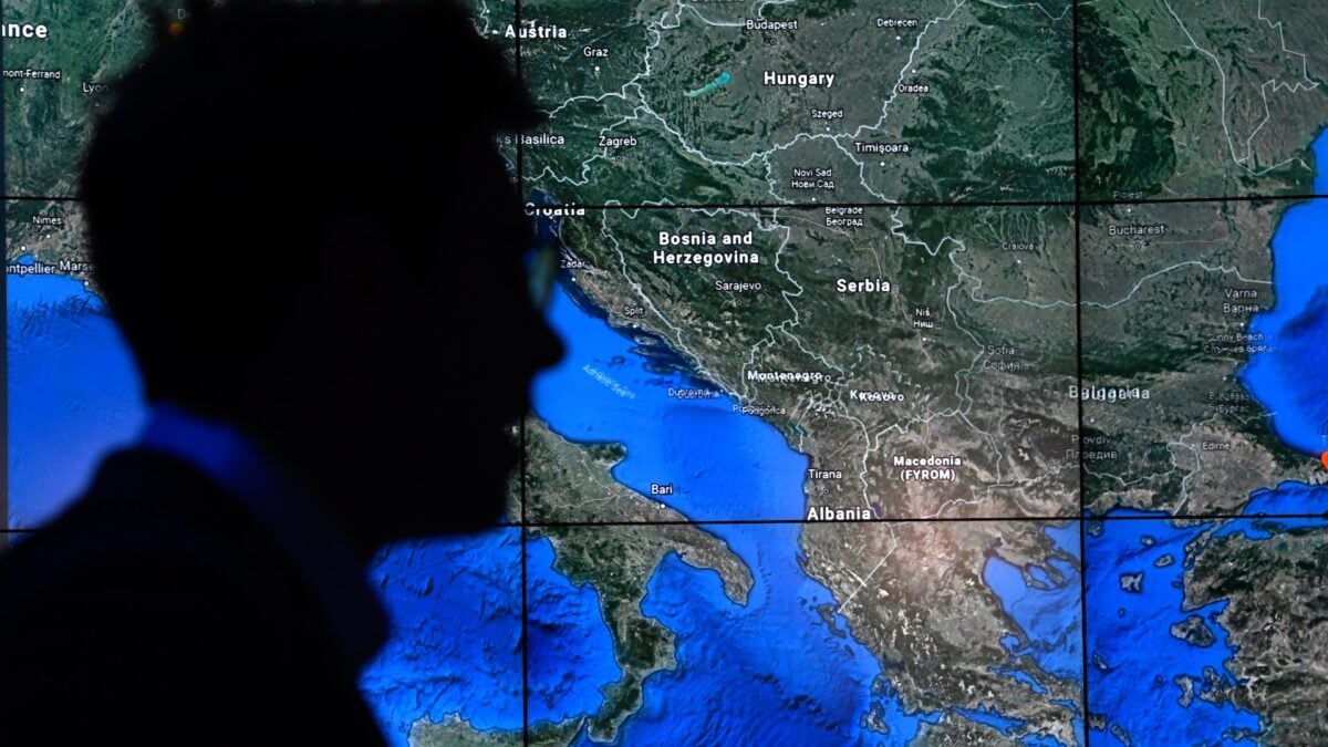
Google briefly introduced an AI feature in Google Earth that let users create fabricated images inside the mapping platform, but the company moved to roll it back after only a day. The reversal followed a burst of online examples showing how quickly the tool could be used to create misleading visuals.
According to the report, people used the feature to place a fake nuclear plant in Iran and to depict a plane crash scene. Those examples highlighted how an image generator inside a widely recognized geographic product could blur the line between real map-based information and invented content.
The rapid rollback suggests Google was responding to the immediate risks tied to false or sensational imagery appearing in a service many people associate with real-world locations. When synthetic visuals are inserted into tools built around places and satellite-style views, concerns about confusion and misinformation can rise quickly.
For Google, the episode underscores the challenge of adding generative AI to products that users trust for reference and context. Even a short-lived release can show how easily such features may be exploited when realism and public-facing maps are combined.