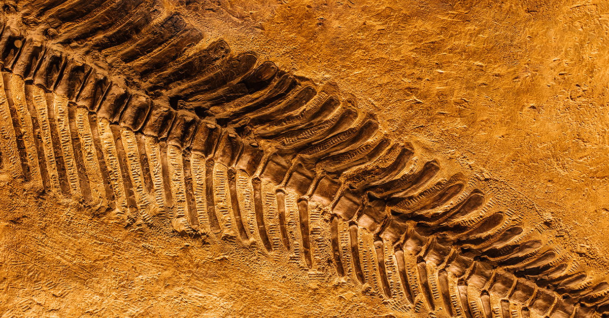
A new web tool is designed to help researchers map fossil locations across ancient continents in seconds, addressing one of the more difficult tasks in paleontology and related fields. Working out where a fossil site would have been located deep in geological history can be a complicated process that usually depends on advanced calculations and large datasets.
The project aims to make that work faster and more accessible by turning complex reconstructions into a simpler online process. Instead of relying on lengthy manual methods, users can quickly estimate how a present-day fossil location aligns with past continental arrangements over vast spans of time.
This kind of capability is important not only for paleontology, but also for any research that depends on understanding Earth’s changing geography. Reconstructing ancient positions can help scientists study how species spread, how ecosystems changed, and how landmasses shifted over millions of years.
By putting these functions into a web-based format, the new tool could streamline analysis for researchers handling large volumes of information. It reflects a broader push in science to use digital platforms to make complex geological and fossil mapping tasks more efficient and easier to use.